Distance: 21.2803km
Duration: 9h
Level: Very difficult
Elevation: 1317m D +
Departure : Porte de France, Prats-de-Mollo-la-Preste
Arrival: Porte de France, Prats-de-Mollo-la-Preste
Max altitude: 1393m
Minimum altitude: 734m
Course type: Round trip
Type of practice: Hike

Theme(s): History and heritage, Mountain hiking

From Arles-sur-Tech, follow the direction of Prats-de-Mollo-la-Preste (D115).

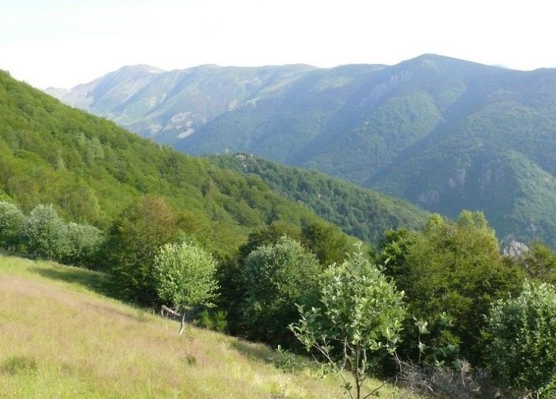
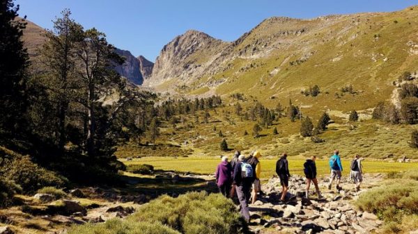
Departing from Prats-de-Mollo-la-Preste, this hike uses the base of the rural road which gives access to the chapel of Sant Guillem and the refuge of the same name. You will start this route by climbing the Coll de Cabanelles then that of the Coll d'en Ce, to finally finish with a gentle climb in a magnificent beech forest to the site of Sant Guillem.

Download :

This itinerary allows you to enjoy a night in a refuge and to hike around it.

Points of interest
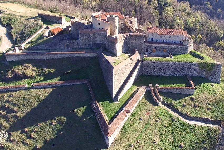
Fort Lagarde
© CC Haut Vallespir

Fort Lagarde

Table d'orientation de Sant Guillem
© Frédéric Maler - CC Haut Vallespir

Orientation table of Sant Guillem

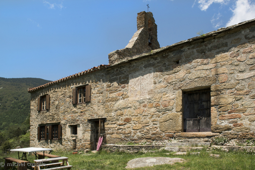
Chapelle Sant Guillem de Combret
© Michel Castillo - CD66

Chapel of Sant Guillem de Combret

Isards
© CC Haut Vallespir

Isard's

Your itinerary

MapList

Prats-de-mollo-la-preste

Full screenClose

Where to eat ?

  • Where to eat ?
  • Send

What to visit?

  • What to visit?
  • Send

Where to sleep ?

  • Where to sleep ?
  • Send

Services

THINGS TO DO

  • THINGS TO DO
  • Send

Ranking & labels

  • Danger of controlled burning site
  • Itinerary registered in the Departmental Plan of Walking and Hiking Routes of the Pyrénées-Orientales.
  • This route is part of the 1000 km of GR® and GR®P in the Department of Pyrénées-Orientales. GR® and GR®P are trademarks registered by the French Federation of Hiking and the marking of this route is carried out by the volunteers of the Departmental Committee of the French Federation of Hiking of the Pyrénées-Orientales.

Pyrénées OrientalSource rando66.fr