





Departure: When leaving the Saint-Laurent-de-Cerdans Tourist Office, turn right for 70m then right onto Rue Damien Benezet.
540 m: Leave the road to take the track on the right which goes down through the middle of a meadow (Cap 60).
1,35 km: Leave the track to climb a path which starts on the left in the undergrowth (Cap 40).
2,15 km: The path reaches a crossroads: choose the track that goes up to the right, leave the track with the No Entry sign (Cap 70).
2,20 km: Be careful! Take the path on the right through the undergrowth very quickly (Cap 90). Cross a bend in the track.
2,70 km: Take another stretch of track uphill to the left (course 10), before leaving it
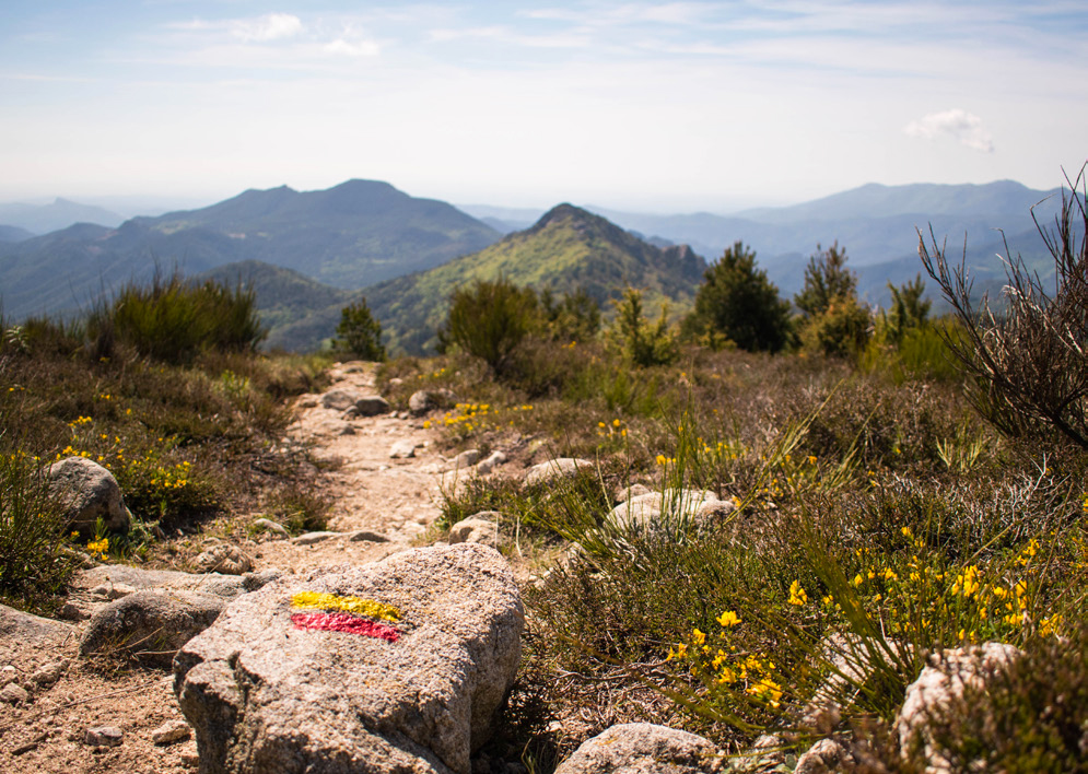
700 m further to climb the embankment on the right (PR Yellow). Then after 950 m of climbing we find the GRP Tour du Vallespir (Cap 120).
4,70 km: Mount Capell.
5,30 km: Continue down to the right (Cap 240), then to the left (100 m further) on a track.
7,15 km: Go down the path to the right (GRP and mountain bike totem) (Cape 210).
7,35 km: Return to a path (right / Cap 290) before heading right twice on a forest path.
8,95 km: Opposite in the downhill direction.
9,50 km: Go straight ahead for a few moments to access a farmhouse before heading back up the slope 50 m further on to the left (Cap 250).
9,85 km: Entrance to St Laurent, follow the hairpin bend to the right (Cap 350), go through a garden path, then through the Veïnat d'en Xeis.
Ranking & labels
- Danger of controlled burning site
- Itinerary registered in the Departmental Plan of Walking and Hiking Routes of the Pyrénées-Orientales.
- This route is part of the 1000 km of GR® and GR®P in the Department of Pyrénées-Orientales. GR® and GR®P are trademarks registered by the French Federation of Hiking and the marking of this route is carried out by the volunteers of the Departmental Committee of the French Federation of Hiking of the Pyrénées-Orientales.