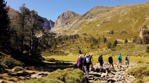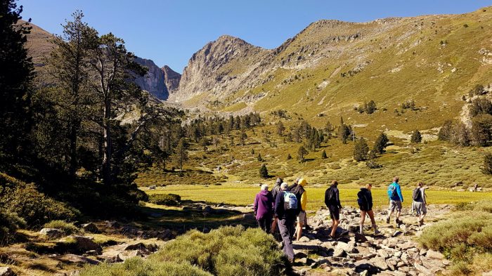



Departure: From the forest crossroads of Pla de La Bèna (access track that goes up from Montferrer, usable with a vehicle with good ground clearance). Take diagonally to the right the path signposted "Pic de La Soca" (North Cape).
1,10 km: Once you reach the end of the track, take the path in front of you uphill (Cap 350).
1,35 km: Cross an old forest track. (Cap 330).
1,55 km: Be careful! This path turns sharply to the left (Cape 220).
1,85 km: Be careful here again! Climb to the right at the steepest part of the slope (Cap Ouest).
2,20 km: Climb up to the edge of the woods, then follow the main trail which leads to an iron mast visible at the top on the left (Cap 230).
2,35 km: At the top of the Soca, follow the ridge line (yellow line markers) (Cape 330).
2,80 km: Follow the trail among the young trees (Cap 300) to begin the descent of the peak on its right side (East face),
3,25 km: Follow the clear ridge line (do not enter the woods) (Cape 210).
3,75 km: At the Torres d'en Coste post, turn left onto the track (Cap Est).
5,90 km: After a short round trip to Font del Brigader, finish the hike on a wide flat track starting on the left.
Ranking & labels
- Itinerary registered in the Departmental Plan of Walking and Hiking Routes of the Pyrénées-Orientales.
- This route is part of the 1000 km of GR® and GR®P in the Department of Pyrénées-Orientales. GR® and GR®P are trademarks registered by the French Federation of Hiking and the marking of this route is carried out by the volunteers of the Departmental Committee of the French Federation of Hiking of the Pyrénées-Orientales.