




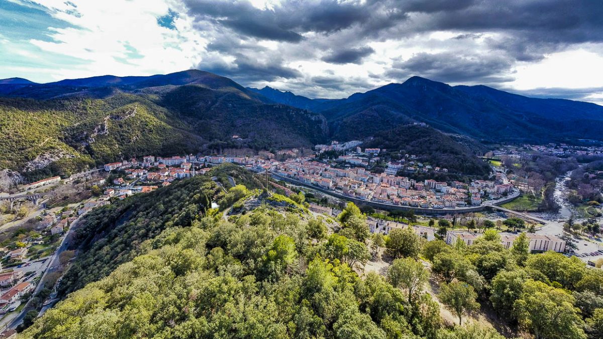
Departure: When leaving the tourist office, climb the very steep concrete ramp on the right located right next to the thermal establishment.
400 m: At the top of Rue des Thermes, take the concrete climb on the right on the right side of the thermal establishment.
600 m: Leave the track by taking the yellow marked PR path on the right (Cap 260).
900 m: Arrived at a small pass (tarmac road) turn left signposted Sta Engràcia.
1,1 km: Cross the D53 road (Cap 200).
1,75 km: At the crossroads, turn right uphill.
2,4 km: Always the same path which climbs opposite (cape 10).
3 km: Take the left onto the path signposted Santa Engràcia.
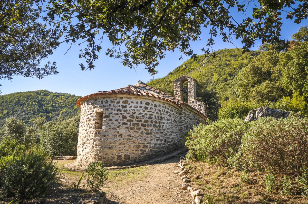
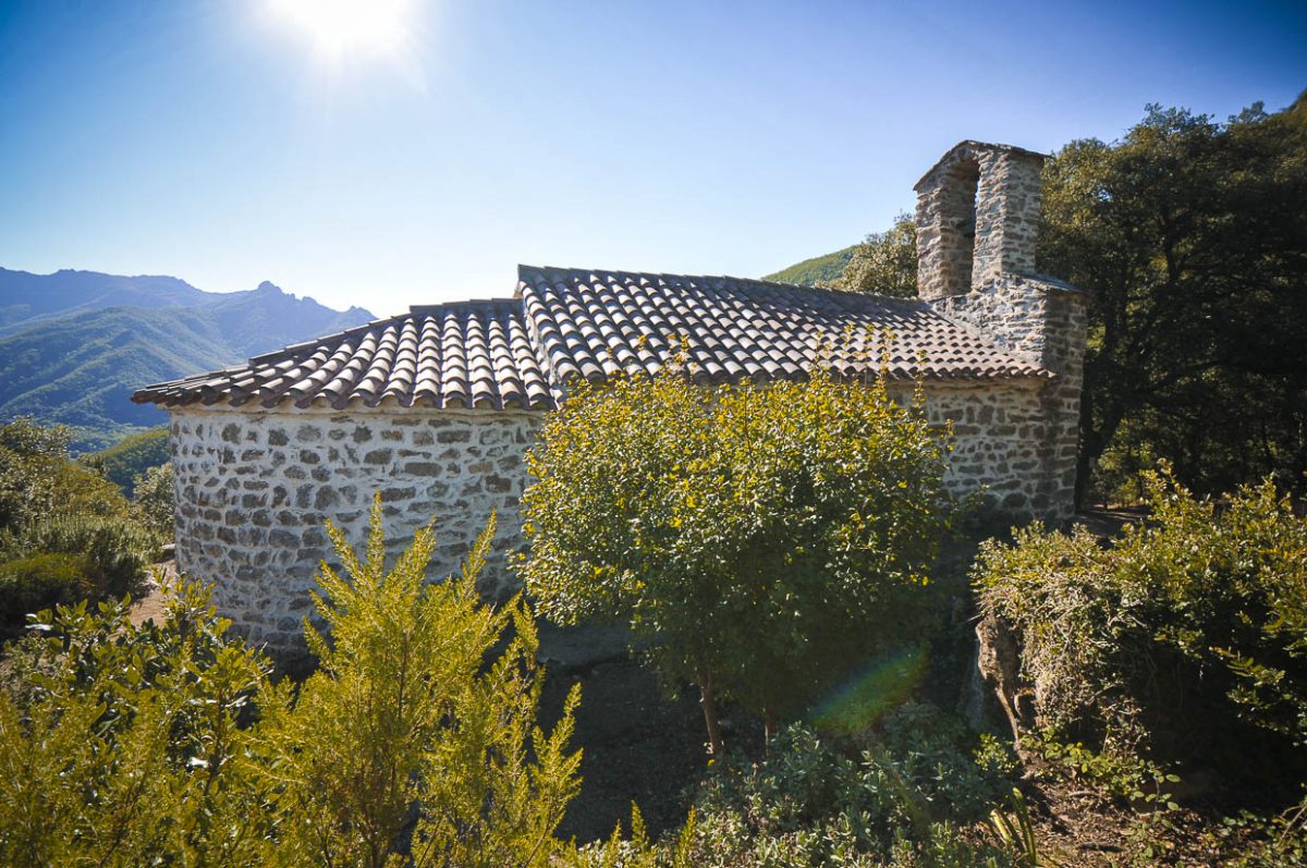
3,42 km: Arrived at the chapel, return in the opposite direction of the route to the previous Point 6. IGN license
4,4 km: Take this turn right onto the track.
6 km: Tarmac link D53 on the left.
6,8 km: At a tight left bend, locate the start of a path that plunges to the right into the undergrowth.
7,3 km: At the crossroads turn right.
7,6 km: Arrive in front of the thermal establishment and turn right onto rue Castellane for a short moment.
7,7 km: Go right, take the footbridge then left to go down Avenue de la
Freedom.
8 km: Turn left, cross the bridge, then cross the Place de la République to go up the stairs (fountain).
8,1 km: Go up Avenue du Vallespir for 100m to reach the Tourist Office.
Ranking & labels
- Itinerary registered in the Departmental Plan of Walking and Hiking Routes of the Pyrénées-Orientales.
- This route is part of the 1000 km of GR® and GR®P in the Department of Pyrénées-Orientales. GR® and GR®P are trademarks registered by the French Federation of Hiking and the marking of this route is carried out by the volunteers of the Departmental Committee of the French Federation of Hiking of the Pyrénées-Orientales.