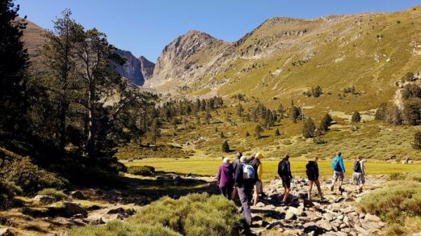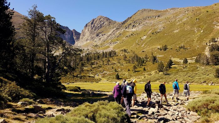


Departure: The hike starts from the central reservation located at the entrance to the hamlet of Montalba “Moulí Serrador / Coll Cerdà” (Cap 150 / GR10 markings).
1,05 km: Continue on the GR10®, signposted “Roc de Frausa” (Cap Est).
2,30 km: The path joins a track. Continue to climb (Cap 140).
3,15 km: End of trail, continue on the GR10® (Cap 200)
4,40 km: At Coll Cerdà, continue the ascent to the left (still on the GR10, signposted “Col du Puits de Neige” / Cap 120).
6,35 km: At the end of a beech forest, leave the GR10® briefly in the open to head diagonally to the right, under conifers (Cape 70 / PR markings).
6,95 km: Climb up the southern slope of the ridge via a fairly steep rocky corridor, yellow PR markings (Cap 120).
7,30 km: Arrive at the summit of Roc de Frausa, go around it on the right (Cap 300).
For the return: Go back down to Montalba by the same route as on the way there (Cap 260).
Ranking & labels
- Itinerary registered in the Departmental Plan of Walking and Hiking Routes of the Pyrénées-Orientales.
- This route is part of the 1000 km of GR® and GR®P in the Department of Pyrénées-Orientales. GR® and GR®P are trademarks registered by the French Federation of Hiking and the marking of this route is carried out by the volunteers of the Departmental Committee of the French Federation of Hiking of the Pyrénées-Orientales.